City of Saskatoon Planning and Development: Varsity View Cultural Inventory
(Note: All files are downloadable PDFs)
Notable Architecture Master Sheet (text key to the accompanying map)
Notable Architecture map
Notable Buildings and Places Master Sheet (text key to the accompanying map)
Notable Buildings and Places map
Notable Businesses Master Sheet (text key to the accompanying map)
Notable Businesses map
Notable People Master Sheet (text key to the accompanying map)
Notable People map
All (this is a compilation of the maps above)
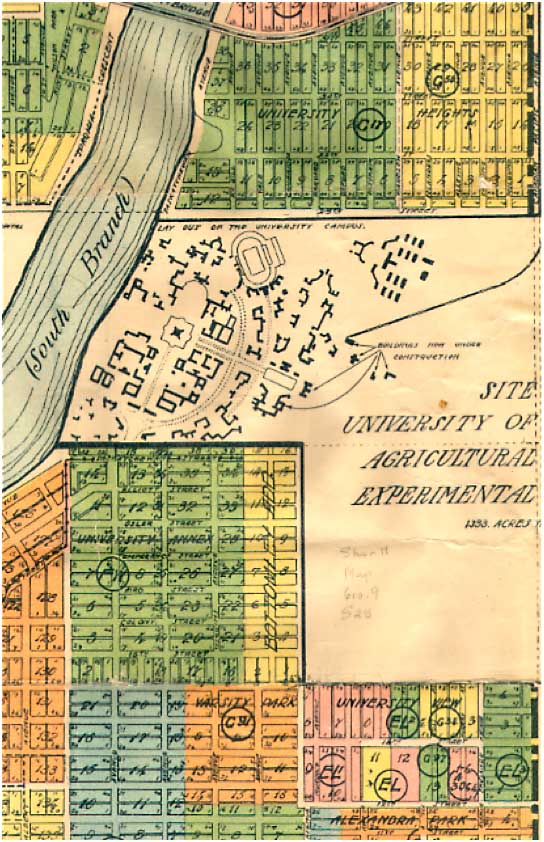
University of Saskatchewan 1911 Official Plan
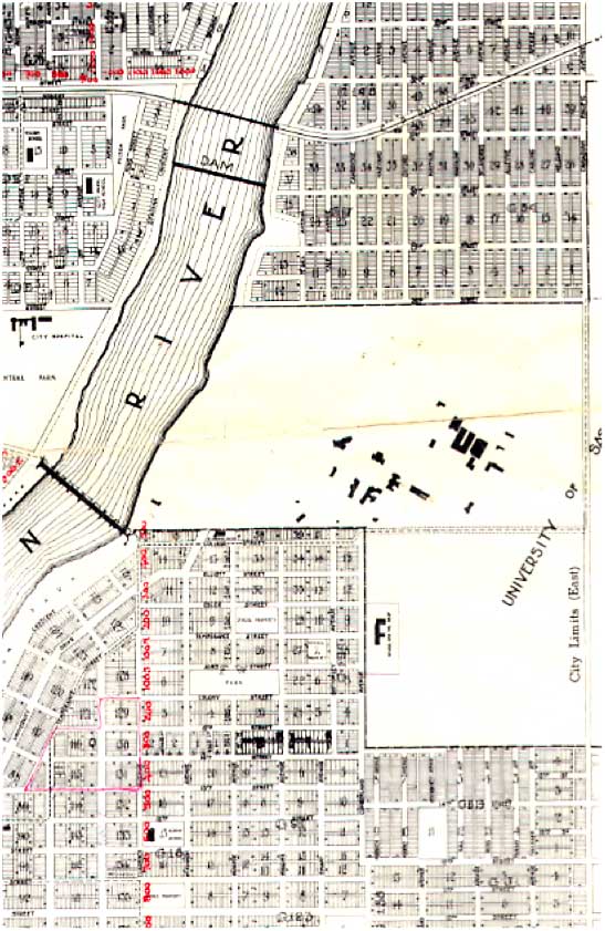
University of Saskatchewan 1951 Official Plan
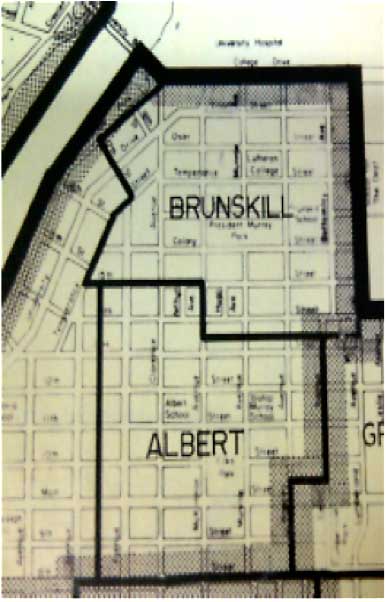
Former Boundaries of Varsity View- Albert and Brunskill
1927 Aerial Photo
1953 Aerial Photo

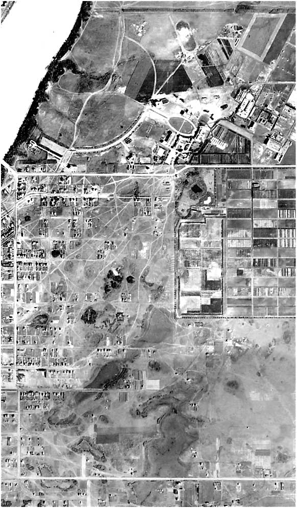
1940 Aerial Photos
![Image Source: CoS Archives, Varsity View 1940 Aerials, HST-019-02-2 [ca. 1940].](http://vvcasaskatoon.com/wp/wp-content/uploads/2014/07/map-1940-aerialphoto2.jpg)
![Image Source: CoS Archives, Varsity View 1940 Aerials, HST-019-02-1 [ca. 1940].](http://vvcasaskatoon.com/wp/wp-content/uploads/2014/07/map-1940-aerialphoto.jpg)
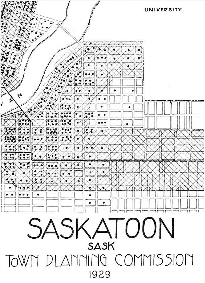
Saskatoon 1929 Street Car Map